What you get
Every listing, fully loaded
These are the real outputs, shown on our public sample lot in Cape Coral, Florida. Still photos on this page are USDA aerial images; the live 3D view is on the sample page.
3D listing link
Buyers turn and zoom the property on any phone, with the lot lines, the layers and your price on it. No app to install. On a $25 lot it is a watermarked 3D preview. LIVE, the clean link, comes with $49 a month on 3 lots or $79 a month on every lot.
Branded listing PDF
Your logo, name, phone and price on a clean listing PDF with the aerial photo and the lot lines, ready to text, email or print. See the sample lot's PDF, watermarked as a free sample.
Still photos from any angle
Turn the view to any angle and save a still of it.
Your price on the lot
A red price pin floats over the lot in the 3D view, the stills and the PDF. Change your price any time and the listing updates.
Find buyers
The home builders working near your lot, with a message written for you to send from your own phone. The $79 plan adds their phone numbers and websites.
Bulk launch
On a paid account (one that has bought a lot or a plan), paste up to 30 addresses or parcel numbers and get 30 listings back, one after another. Free previews are 1 lot a month, or 3 a month with a free account. Try it.
The layers
See what's on the ground, and under it
Each layer comes from the agency that maps it. Live layers are in every listing today. The ones marked next are being built from free public data, and each goes live the day it works on real lots.
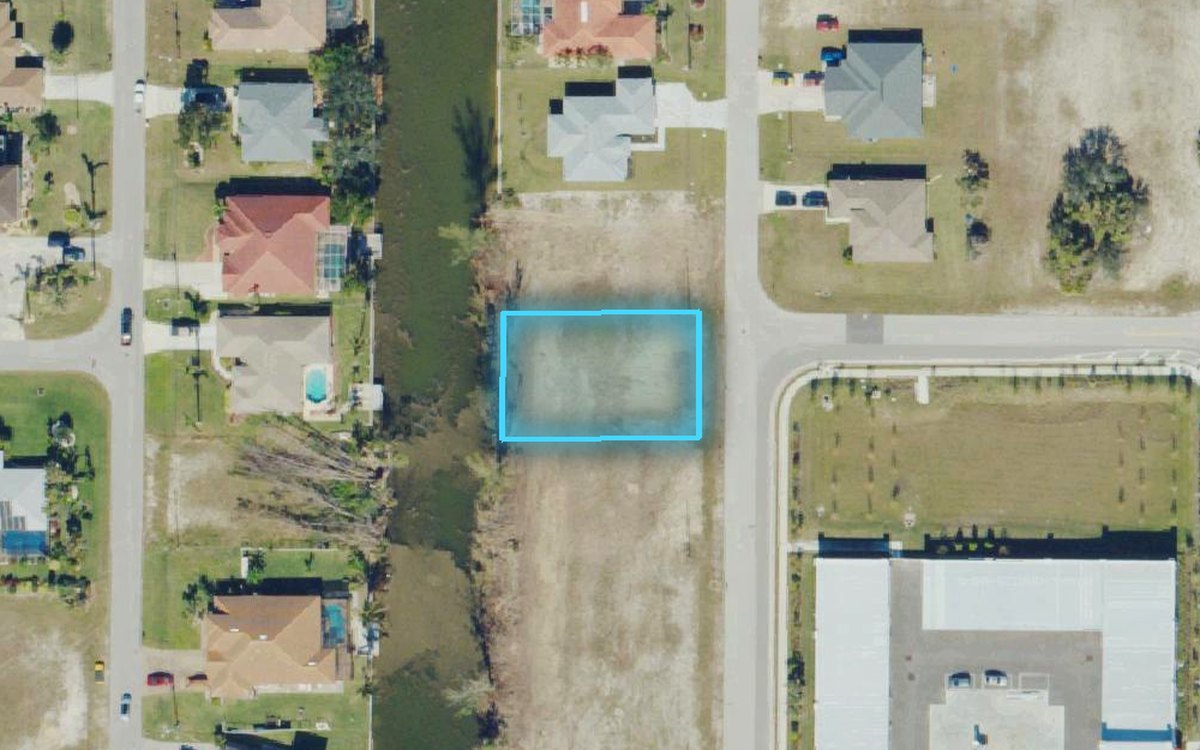
Lot lines
The boundary from the county's parcel map, on the ground. 0.23 acres here, about 80 by 125 ft.
Public parcel maps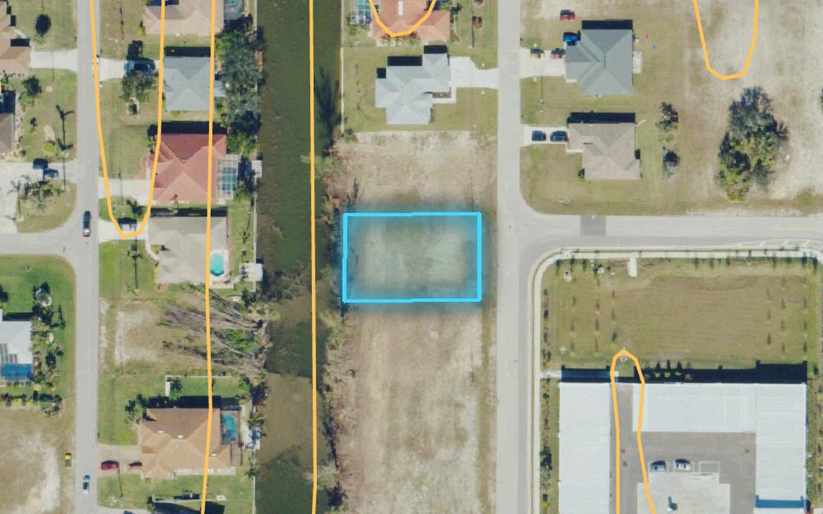
Contours
Which way the ground falls. On this lot no steep ground was found: under 1 ft of relief between 5 USGS elevation points, one at the lot's centre (about 9 ft, NAVD 88) and one near each corner. The strip along the back line is the canal bank, which drops to the water.
USGS 3D Elevation Program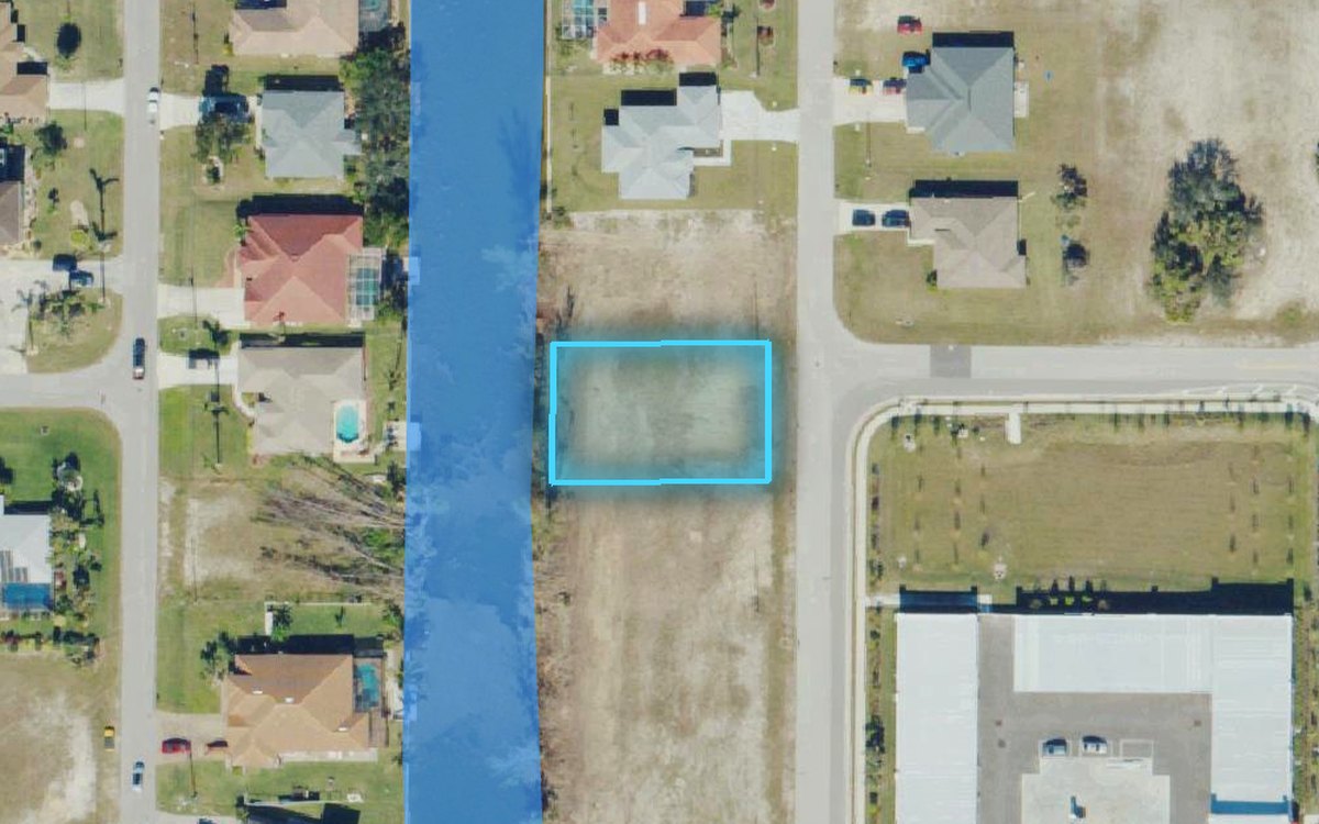
Water
Canals, ponds, lakes and streams. Here, the canal along the back line.
USGS National Hydrography Dataset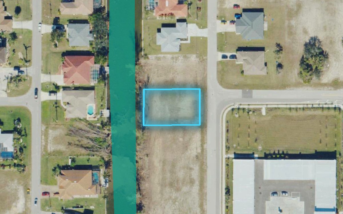
Wetlands
Mapped wetland and deepwater areas on or near the lot.
USFWS National Wetlands Inventory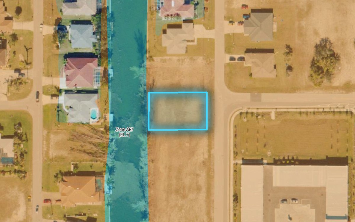
Flood zone
FEMA's zones on the lot, and the zone named in plain words on the listing.
FEMA National Flood Hazard Layer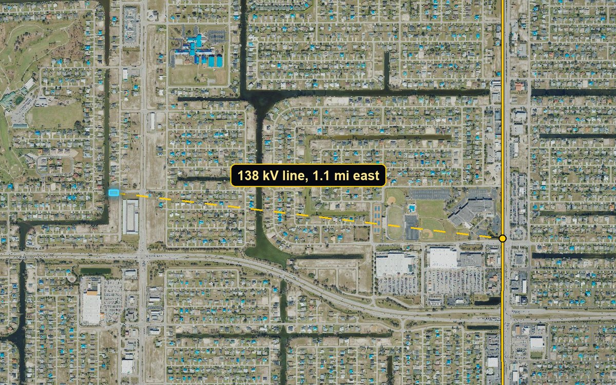
Power lines
Distance and direction to the nearest high-voltage line. Here: 138 kV, about 1.1 miles east.
HIFLD electric transmission lines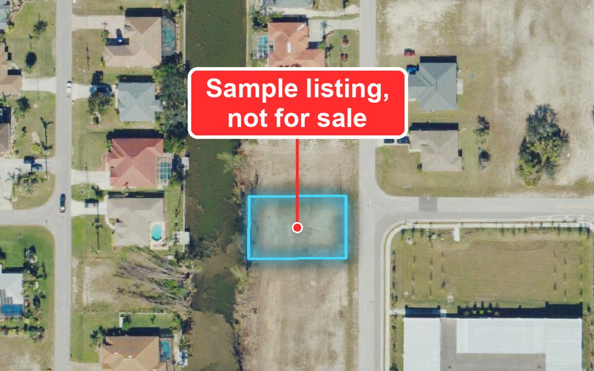
Price pin
Your asking price, floating over the lot wherever the listing goes.
YoursBuilders near the lot
The home builders around your lot, and how busy your county is. Lee County, where the sample sits, ranks first of Florida's 67 counties.
new single-family home permits in Lee County, January to October 2025
Google Places · U.S. Census Building Permits SurveyComing to every listing
- Soils and septic suitability (USDA)
- Slope across the lot (USGS)
- Road frontage, measured (Census roads)
- Usable area: the lot minus flood and wetland
- Recent lot buyers nearby, Florida first (county rolls)
The message ParcelLaunch writes for you. It goes from your own phone or email, never from ours. Example address and price.
Find buyers
Send it to the people who buy lots like yours
ParcelLaunch shows the home builders working around your lot and writes the first message for you, with your listing link in it. You send it from your own phone.
- Builders near the lot, by name, on every paid listing
- Their phone numbers and websites on the $79 plan
- How busy builders are in your county, from Census permit data
Extras
When a listing needs more
Cinematic Splat
A photo-real 3D capture built from a short drone or phone video of the lot, so buyers can fly through the real thing, trees and all.
See a live sample →SMS Campaign and PDF Auto-Fire
Every lot you list, texted to your buyer list automatically from your own texting number, with its branded PDF.
See it work →